Subtotal: £318.50
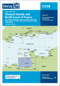
Imray Chart C33B Channel Islands (South)
£28.95
In Stock2 in stock (can be backordered)
Description
Imray Chart C33B Channel Islands (South)
Jersey to Mont St-Michel and Baie de Saint-Brieuc
Plans:
St-Quay-Portrieux
Binic
Port du Legue
Dahouet
Erquy
St-Malo Approaches
St-Malo
Granville
St Helier Approaches (Jersey)
St Helier Harbour
On this edition the chart specification has been improved to show coloured light flashes. Depths have been updated throughout the chart from the latest surveys. The harbour plan of St-Malo has been extended to include Port Vauban. There has been general updating throughout.
Additional information
| Weight | 0.5 kg |
|---|---|
| Dimensions | 30 × 25 × 1 cm |
| Edition Date | Oct-22 |
| Scale | 1:120 000 WGS 84 |

 IK962E IAMSAR Manual - Vol III 2022 Edition
