
29
Jan
January Newsletter
!NEWS!
Welcome to our January Newsletter
NEW EDITIONS JUST PUBLISHED
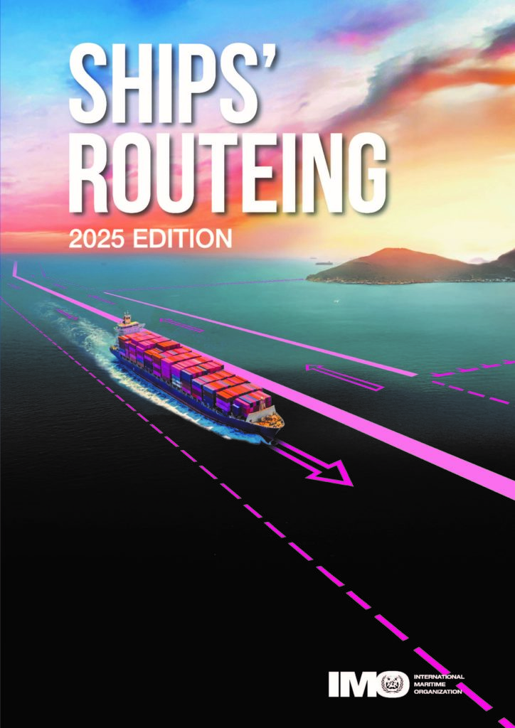
Ships’ Routeing 2025 Edition – HARDBACK VERSION
Both the safety of shipping and the cleanliness of oceans are promoted in many ways, one of which is the continuing development of routeing measures to organize the navigation of vessels and to monitor their progress. This publication presents individual descriptions of the following routeing measures:
- traffic separation schemes and inshore traffic zones;
- deep-water routes;
- areas to be avoided;
- no anchoring areas;
- other routeing measures, such as recommended tracks, two-way routes and recommended directions of traffic flow;
- associated rules and recommendations on navigation;
- archipelagic sea lanes; and · ship reporting systems.
This edition incorporates routeing measures that have been adopted before September 2025.
RRP £195.00

BIMCO Holiday Calendar 2026
This publication is the most trusted and unbiased source of worldwide holidays and working hours in the shipping industry. It is an essential reference when voyage planning and negotiating charter parties and to help avoid disputes with third parties.
The most significant improvements in this edition are:
- Increased focus on local and regional holidays
- exclusion of conditional and labour agreement holidays and greatly improved verification of entries supported by local, legal documentation to ensure reliability
- holiday legislation is reflected at national, regional and municipality level.
RRP £175.00
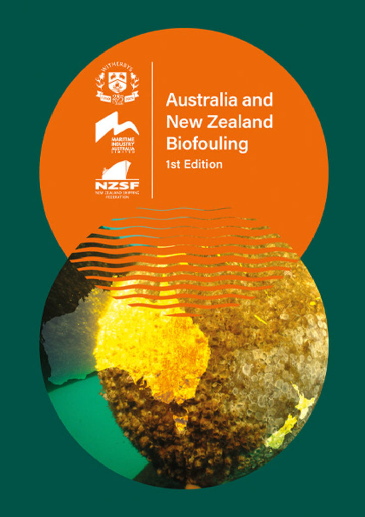
Australia and New Zealand Biofouling, 1st Edition
This first edition details the regulatory frameworks governing the management of biofouling on ships operating in Australian and New Zealand waters. Australia’s layered federal and state regulatory systems combined with diverse port ownership structures present significant compliance challenges for shipowners, operators and agents. New Zealand’s 2023 Craft Risk Management Standard (CRMS) for Vessels is the strictest biofouling management regime in the world, backed by rigorous enforcement and the potential for substantial penalties for non-compliance.
The publication also examines the AFS Convention, port entry requirements, penalties for non-compliance and the impact of biofouling on ship hydrodynamics and operating costs. It provides practical guidance on ship inspection and cleaning, supported by a comprehensive set of data sheets for in-water hull cleaning companies, including location maps. The appendices provide a set of official checklists for in-water cleaning, the MPI Vessel Checklist and Reporting Form, the MPI Biosecurity Pre-Arrival Report, and commentary on the 2023 Biofouling Guidelines.
This is an essential guide for maritime professionals operating in or entering Australian and New Zealand waters, providing clear insight into compliance obligations and effective preparation for port entry, helping to minimise disruption, delays and unexpected costs.
RRP £95.00
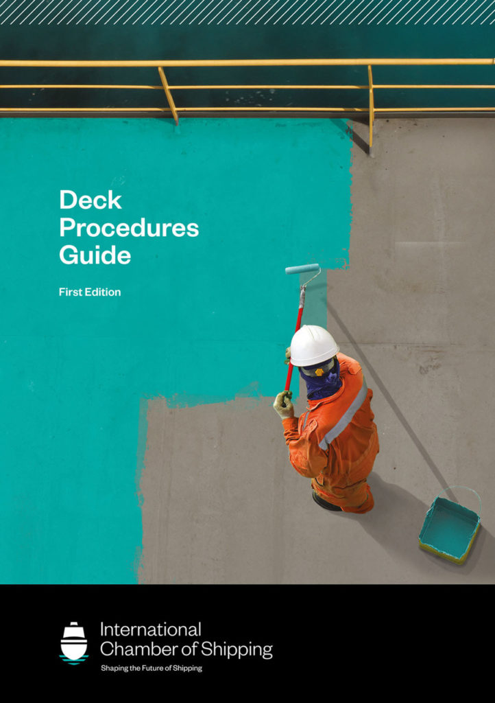
Deck Procedures Guide, 1st Edition
Every on board department needs to work together to ensure the safety and security of the crew, ship, environment and cargo. The procedures in the Deck Procedures Guide align with those in the widely used ICS Bridge Procedures Guide and Engine Room Procedures Guide, completing an essential set of guides that enable companies to uphold the highest standards of best practice across ship operations. When used in collaboration, users can benefit from harmonised inter-departmental communications and procedures.
Offering a comprehensive overview of essential deck operations, the ICS Deck Procedures Guide ensures that all those working on or maintaining machinery on deck are well-equipped to handle a wide range of operations including cargo operations, bunkering and heavy weather preparations. It includes practical procedures and checklists for deck operations and maintenance of core equipment, across all ship types. Crews can expect guidance that enables compliance with the IMSBC and IMDG Code.
The guide is an invaluable tool for masters, chief officers, bosuns, technical superintendents and other members of deck crew, as well as engineers responsible for maintaining deck equipment and performing bunkering operations, shipping company shoreside safety teams and training institutions. It is recommended that a copy is carried on board every ship.
RRP £180.00
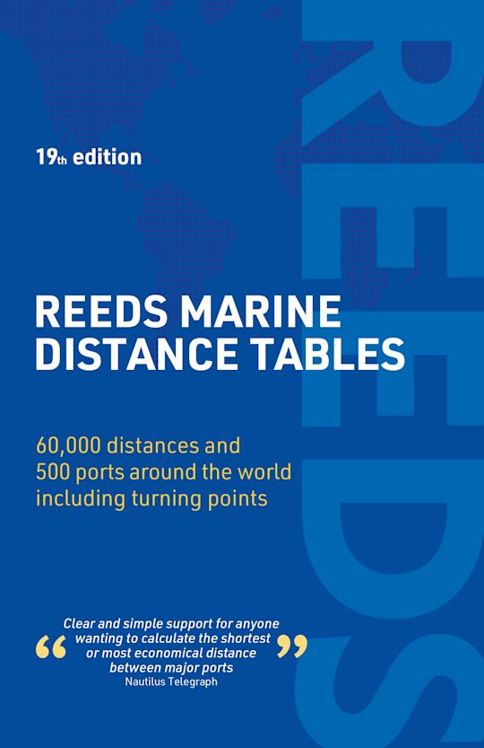
Reeds Marine Distance Tables, 19th Edition
Reeds Marine Distance Tables is the perfect ready reckoner for captains, navigators and ship owners wanting a quick and accurate distance reference between all the regularly used commercial ports around the world.
Divided into key ‘market areas’, Reeds Marine Distance Tables includes a pull-out map for area identification and an easy see-at-a-glance port reference. Traffic Separation Schemes are calculated into the tables already, for ease of use. Useful tables of major ‘turning points’ around the world (including Cape Finisterre, Cape Horn and the Dover Straits), transatlantic distances, world time zones, and time and speed conversion tables are also included.
Comprehensively revised for its 19th edition, Reeds Marine Distance Tables is an invaluable resource for ship owners, operators, brokers, navigators and superyacht skippers. Using this one reference, anyone can calculate the shortest or most economical distances between all the major ports in the world.
RRP £35.00
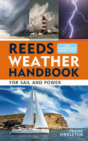
Reeds Weather Handbook, 3rd Edition
An essential pocket-sized primer that equips sailors and outdoors enthusiasts with the knowledge to read and predict the weather.
Weather determines when we sail, where we sail to – and whether we arrive safely. This essential pocket-sized guide explains how the weather works and how to understand and use all forms of marine weather information, whether for day sailing or long coastal and offshore passages.
This new edition updates availability and usage of computer-generated forecasts with a glimpse into the AI future. Climate change impacts on sailors are described and there is a scientifically correct description of the Coriolis effect.
With practical explanations, helpful diagrams and photographs, this is the ideal aide-memoire for skippers and crew, especially those studying for their Day Skipper and Yachtmaster exams.
RRP £11.99

Cruising Guide to Cape Horn and Antarctic Waters
Including Chile, the Beagle Channel, Falkland Islands and the Antarctic Peninsula
The second edition of this stylish cruising handbook is revised and updated throughout by seasoned bluewater sailors Tom and Vicky Jackson.
From the raw edge of Cape Horn to the icebound anchorages of the Antarctic Peninsula, this guide covers one of the most demanding and spectacular sailing regions on earth. Chile, the Beagle Channel, the Falkland Islands and Antarctica are brought vividly to life, with practical detail for navigating these challenging but rewarding waters.
Originally resulting from broadcaster Paul Heiney’s voyage, the book blends first-hand experience with solid navigational intelligence. Key passages, harbours and anchorages are clearly described, supported by Imray sketch plans, proven strategies, and shared knowledge from a network of sailors who have been there.
Packed with full-colour photography and written with energy and authority, this is both a serious planning tool and a source of inspiration.
Whether you’re preparing to round the Horn or simply dreaming of high latitudes, this book is a vital companion.
RRP £65.00
FUTURE NEW EDITIONS
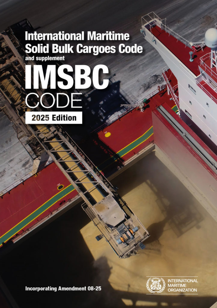
IMSBC Code, 2025 Edition – HARDBACK VERSION
The International Maritime Solid Bulk Cargoes Code (IMSBC Code), adopted on 4 December 2008 by resolution MSC.268(85), entered into force on 1 January 2011, from which date it was made mandatory under the provisions of the SOLAS Convention. The present edition incorporates Amendment 08-25, which may be applied from 1 January 2026 on a voluntary basis, anticipating its envisaged official entry into force on 1 January 2027.
This publication also presents additional information that supplements the IMSBC Code, such as the Code of Practice for the Safe Loading and Unloading of Bulk Carriers (BLU Code), BLU Manual and recommendations on the safe use of pesticides in ships applicable to the fumigation of cargo holds. The IMSBC Code and supplement is commended to Administrations, shipowners, shippers and masters and all others concerned with the standards to be applied in the safe stowage and shipment of solid bulk cargoes, excluding grain.
RRP £115.00
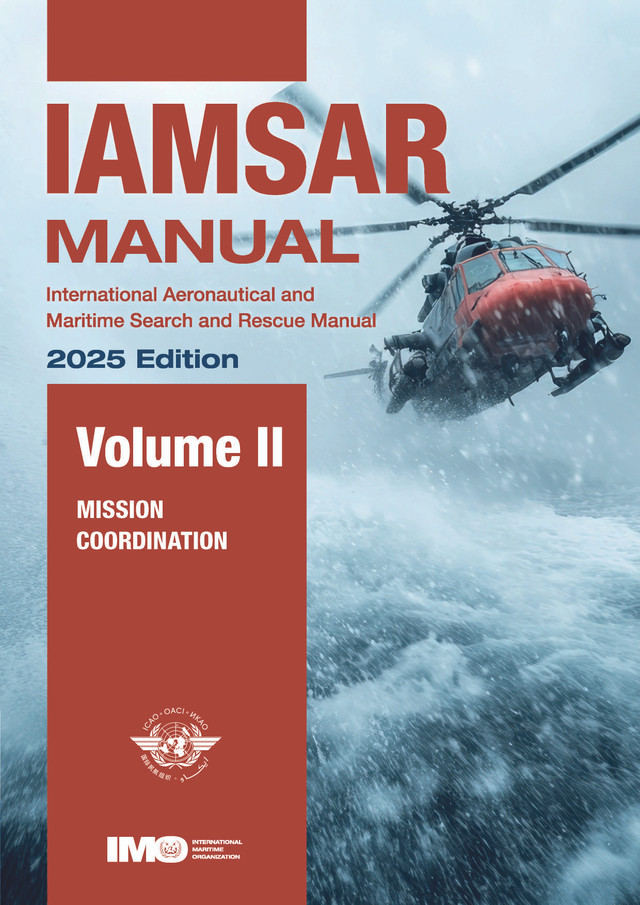
IAMSAR Volume II, 2025 Edition
Mission Co-ordination volume assists personnel who plan and co-ordinate SAR operations and exercises.
This Manual is published jointly by the International Civil Aviation Organization (ICAO) and the International Maritime Organization (IMO).
RRP £89.00
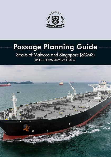
Passage Planning Guide Straits of Malacca and Singapore (SOMS) – (PPG-SOMS), 2026-27 Edition
This Guide summarises essential passage planning practice, including elements local to the Straits, to help navigating officers compile an effective passage plan. It includes practical guidance for the transit with reference to manning levels, traffic, tugs, pilotage, anchorages, tidal streams, communications, etc.
Annotated chartlets, which now feature satellite imagery, are provided for each leg of the transit, illustrating aids to navigation and potential hazards to shipping. The chartlets are supported by guidance notes containing further navigational and safety information.
In preparation for this new edition, Witherbys have worked in consultation with Straits Pilots, harbour pilots, port authorities, local navigation superintendents and shipmasters transiting the Straits.
The Guide illustrates areas where high vigilance is required and lists the pre-emptive measures that should be taken by the ship. Also included are a number of case studies that examine the causes of various groundings and collisions in the Straits.
This new edition now includes information on the MPA’s Just In Time Planning and Coordination Platform, which helps to facilitate the optimal arrival and departure of vessels to and from the Port of Singapore. Vessel reporting and pre-arrival information has been updated and expanded, with the addition of helpful flowcharts to illustrate the requirements.
The tidal streams supplement, which contains high quality diagrams to provide mariners with information about the tidal conditions in the Straits, has now been incorporated into the book as an annex. Additionally, copies of the Pre-Entry Bridge Team Meeting Checklist have been inserted as perforated pages that can be torn out for ease of use. This edition also includes a handy bookmark with QR codes linking to useful PDF downloads, such as Port Marine Circulars.
Information is also taken from appropriate nautical publications and from:
- Rules for Vessels Navigating through the Straits of Malacca and Singapore
- STRAITREP – Mandatory Reporting Procedures
- Port Marine Circulars (Singapore)
- IMO assembly resolutions.
RRP £350.00
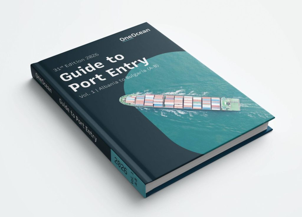
Guide to Port Entry, 2026 Edition
This year’s Guide builds on decades of trust by offering more depth, more clarity and more operational support than ever before.
Across all six volumes, the 2026 edition reflects updates to over 1,600 ports, with extensive revisions to terminal data, service listings and operational notes. These enhancements ensure crews and shoreside teams are working with the most current and accurate information available in print.
We’ve also expanded coverage to keep pace with evolving port infrastructure and user needs:
- 110 new ports
- Over 640 new terminals
- 4,200 additional berths
- 150+ new port plans
Altogether, the Guide now contains over 19,600 entries, spanning ports, terminals, subports and aliases. That includes 17,220 distinct ports, terminals and subports, and 15,250 ports and terminals with operational data to support port calls across the global fleet.
These updates ensure that the Guide continues to be a trusted source of information for safe, compliant and efficient port visits
RRP £675.00
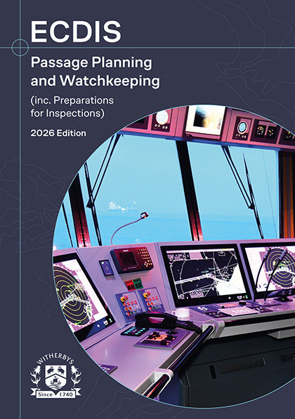
ECDIS Passage Planning and Watchkeeping, 2026 Edition
his publication equips navigators with a thorough knowledge of ECDIS, contributing towards safer navigation and a more effective bridge team. It encourages operators to practise using every function and technique available on ECDIS, such as new automatic functions for creating ‘no-go’ alarms, 3D ENC functionality and ECDIS safety settings. A revised introduction chapter details the latest IMO Performance Standards for ECDIS equipment.
The 2026 edition contains expanded content on the Port State Control, Audits and Inspections. The verification checks are split according to ECDIS and Passage Planning verification, with the latter following the APEM structure. Each area of inspection is covered, with guidance included on how to conduct the checks.
Updated ECDIS screenshots, expanded NAVTEX content and illustrations (such as the PSC flowchart) aid the reader’s understanding of best practice techniques.
RRP £325.00

